Jakobsweg - Tumblr Posts

I feel that by now a few introductory words are in order.
I have a plan. It consists basically of walking from Denmark to Spain, ending on Cape Finisterre on the western coast of Spain.
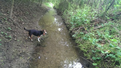
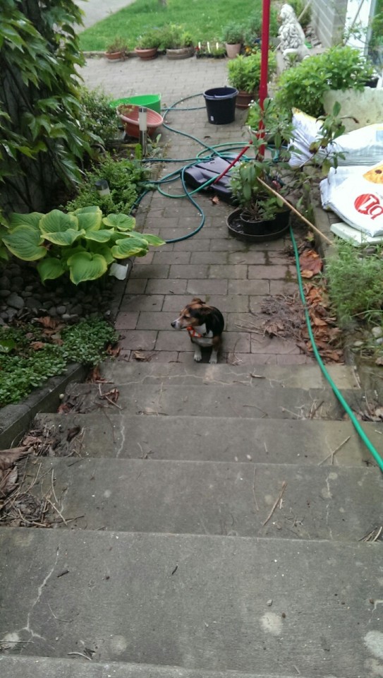
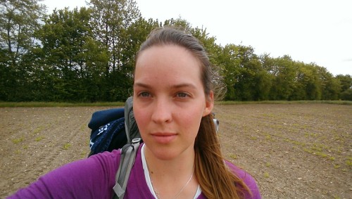
My only company on the road will be Chanel. She is a six year old Jack Russell terrier with a slightly neurotic mind, an abundance of energy and an obsessive curiosity. She became mine a little over a month ago when her owner became too ill to care for her.
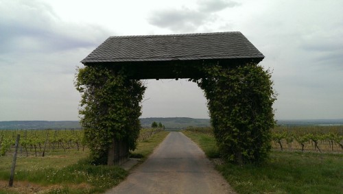
The Danish part we have already covered, following Hærvejen/E1 from Nr. Snede to Padborg (the border). The German part of the trail follows the E1 long distance path, the Rheinsteig, and some trails found on Waymarked Trails. The French trails are The Alsace wine trail and the Camino de Santiago from Thann to Vézelay, and from Vézelay to Saint-Jean-Pied-de-Port. From Saint-Jean-Pied-de-Port the plan is to follow the GR10 trail, which runs along the Pyrenees all the way to the coast and Irún where the Camino del Norte starts. The Camino continues on to Santiago de Compostela, and from there it’s only 90 km to Cape Finisterre.
I am hoping to spend around four to six months on this project. Any longer and I would just be drifting, any less and I would be setting myself up for failure. But who knows, maybe I fall and twist my ankle a few days across the border and this will all seem pretty silly… Hopefully I will make it through without a (serious) scratch, and return home with some great stories to tell.
I will try to keep this blog updated with stories and observations as well as pretty pictures.
Wish me luck.

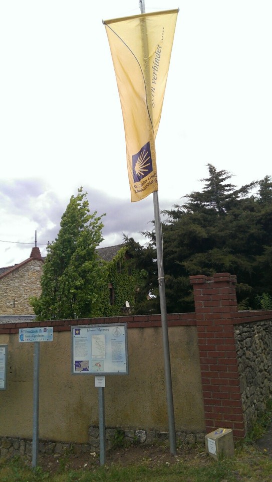
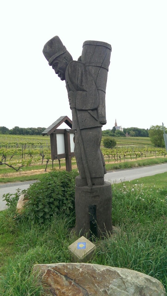
It's great to know that we're on the right way.
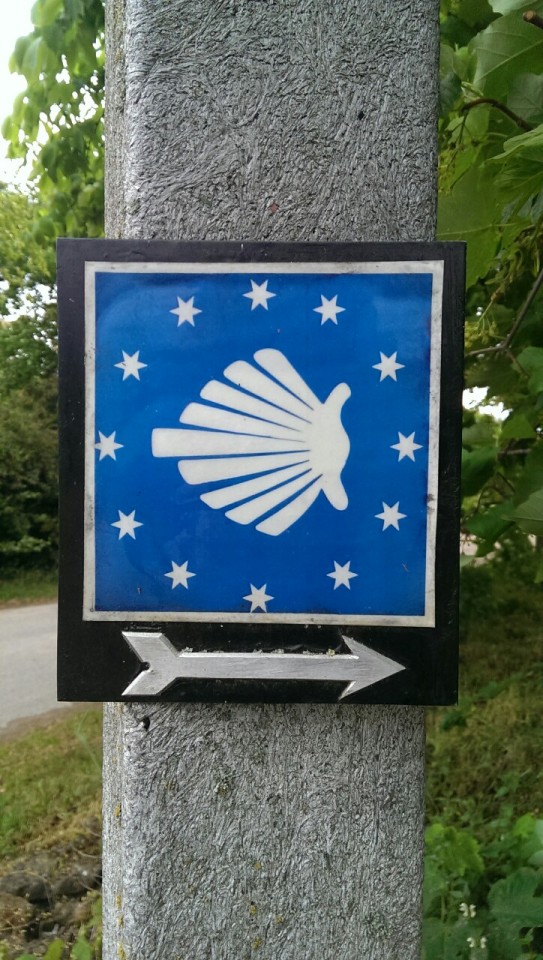
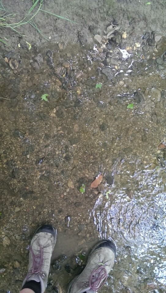
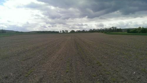
Jakobsweg (Camino de Santiago) from Bingen am Rhein to Worms. So far, not impressed. The last three days have all started out the same, with me finding the Jakobsweg and following it for a few hours before getting lost. It is very badly marked, and most of my initial ability in following it stems from lucky guess work. The arrows point in random directions, often making none or very little sense when there are more than one choice of road to take. So whenever I get lost, I have given up backtracking and have just started walking south, using Google maps to plot a route. Yesterday this resulted in having to cross a small ditch between two fields, as well as forcing myself through a couple of natural hedges. Cuts and scrapes on my bare legs. But at least I didn't have to walk along any highways, or be led around in random snake patterns by whatever morons were designing this #$@&%! trail. Nobody will ever get any use out of that trail, because it is so terrible marked. It just seems like a lot of time and money wasted. Okay, this wasn't meant to be a rant. I guess I'm just spoiled by the Rheinsteig. While the Rheinsteig also did redundant snake patterns, they were along beautiful scenery and with tough climbs. It was always well marked, and the trail was beautiful and upkept, without being along highways or through busy city streets. So now I'm making my own path. So far, interesting and I might have to look into downloading the maps onto my phone, since I'm using a bit too much mobile data. I have 3GBs for 30 days, but I've already used 2.1GBs in 18 days...